
Gulf Coast Hurricane Basics: Surge, Wind & Evacuation Timelines for Cape Coral and SWFL

Gulf Coast Hurricane Basics: Surge, Wind & Evacuation Timelines for Cape Coral
Cape Coral is one of the most desirable places to live in the entire country — the waterways, the weather, the lifestyle, the community. Understanding hurricane risk here doesn’t require fear. It requires knowledge. Residents who know their zone and have a solid plan approach every hurricane season with confidence, not anxiety.
Putting Gulf Coast Hurricane Risk in Context
Cape Coral is a large, diverse city — over 120 square miles with more than 400 miles of canals. Hurricane risk varies significantly depending on where in the city you live. During Hurricane Ian, the most catastrophic storm surge damage was concentrated on the barrier islands — Fort Myers Beach, Sanibel, and Pine Island — and in low-lying coastal areas with direct exposure to surge from Charlotte Harbor and the Gulf.
The majority of Cape Coral’s inland residential neighborhoods — including large portions of Zone B and most of Zones C, D, and E — experienced wind damage during Ian but did not see standing water in the streets or flooding inside homes. Many residents who were in Zone B and chose to shelter in place in well-built, prepared homes came through the storm with roof and tree damage but structurally sound, dry homes.
The takeaway isn’t fear — it’s specificity. Knowing the difference between wind risk and surge risk, and knowing exactly which one applies to your specific address, is what makes Gulf Coast homeownership manageable and confident.
The Two Main Threats: Wind and Storm Surge
Wind
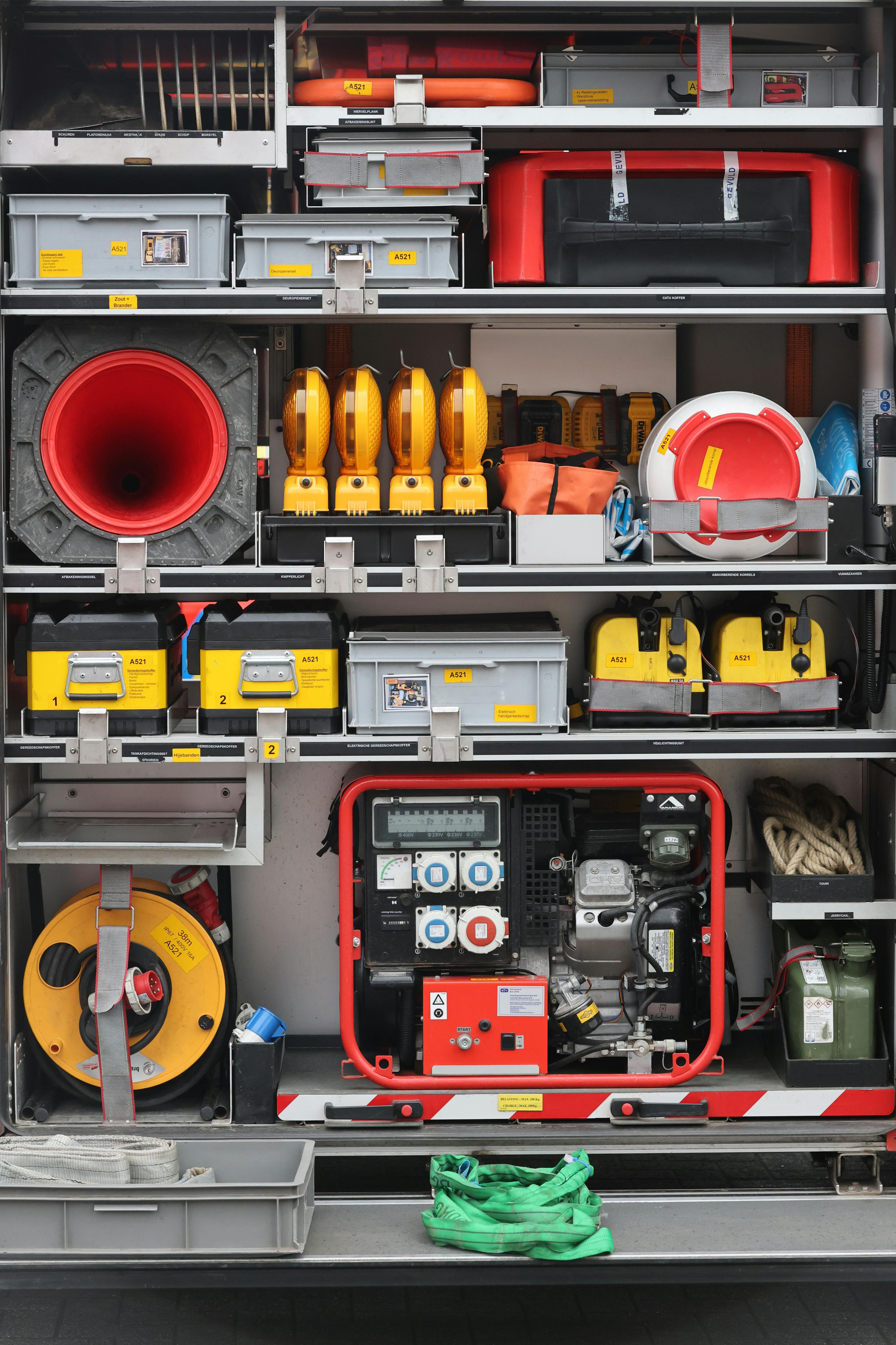
Affects the entire storm impact area regardless of zone. Can cause structural damage, destroy roofs, shatter windows, and create dangerous projectiles. The home hardening steps in Part 1 — shutters, garage door bracing, roof straps, tree trimming — are all about managing wind risk.
Storm Surge
A sustained wall of water pushed inland by a hurricane's winds and low pressure. Highly location-dependent — concentrated in low-lying coastal areas and near water bodies. Large portions of Cape Coral's interior neighborhoods see no surge flooding even during major storms.
During Ian, surge was catastrophic in the most exposed coastal areas — Fort Myers Beach saw surge of 10–15 feet, causing near-total destruction of much of the island. In mainland Cape Coral and Fort Myers, surge reached 7+ feet in the most exposed areas near the Caloosahatchee. But large portions of Cape Coral’s interior neighborhoods saw no surge flooding at all.
Your surge risk depends heavily on where you live. That’s exactly why the evacuation zone system exists — and why knowing your zone is the most actionable step you can take.
Lee County Evacuation Zones: A Through E
Lee County uses a lettered evacuation zone system — A through E — based on storm surge vulnerability. These zones are based on topography, elevation, and proximity to water bodies that can produce surge. They are not based on wind risk or storm category. Knowing your zone is the single most actionable piece of hurricane knowledge a Cape Coral homeowner can have.
- A
Zone A — Highest Surge Risk
Barrier islands, coastal areas, and low-lying areas with direct Gulf exposure. Mandatory evacuations for Zone A come earliest. If you’re in Zone A, your decision to leave should already be made before the season starts.
- B
Zone B — Elevated Surge Risk
Includes some waterfront and canal-adjacent areas, plus all mobile and manufactured homes countywide. During Ian, portions of Zone B were evacuated — but many Zone B homes in inland areas came through without flooding. Know your specific location within Zone B.
- C
Zone C — Moderate Surge Risk
Ordered to evacuate during major storms. The majority of inland Cape Coral residential neighborhoods fall in Zone C or higher. Wind preparation matters greatly here; surge risk is lower but not zero for major direct-hit storms.
- D–E
Zones D & E — Lower Surge Risk
Typically only evacuated for the most severe storms making direct landfall nearby. Wind preparation remains important. Most residents in these zones will shelter in place for the majority of storms.
Look up your exact address today: leegov.com — Know Your Zone. Don’t guess based on what a neighbor said. Know your zone, understand what it means, and build your decisions around that specific information.
Hurricane Timelines: When to Do What
Having a plan in advance means you don’t have to make difficult decisions under pressure. Here’s the timeline every Cape Coral household should have internalized before June 1:
Named Storm Being Tracked
- Monitor the National Hurricane Center twice daily: nhc.noaa.gov
- Follow Mike’s Weather Page (Spaghetti Models) for detailed model tracking — one of the best real-time storm resources for Gulf Coast residents
- Track the cone of uncertainty — but remember, tracks shift. Don’t relax because the cone points elsewhere
- Fill your gas tank now — lines grow fast as a storm gets closer
- If you haven’t prepped your home and kit yet, start immediately
Hurricane Watch Issued
- Hurricane conditions possible within 48 hours — put your plan into action
- Begin boarding up or deploying shutters
- Secure or haul out your boat — don’t wait for a warning
- Fill prescriptions, withdraw cash, confirm your evacuation plan and destination
- Top off fuel tanks — home, boat, and generator cans
Hurricane Warning Issued
- Hurricane conditions expected within 36 hours
- Zone A and likely Zone B evacuations will be ordered — leave now if you’re in these zones
- Final hardening of your home exterior
- Move vehicles to higher ground if you’re in a surge-prone area
- Traffic worsens every hour — the earlier you leave, the better
Last Comfortable Window to Leave
- Bridges can become congested or ordered closed
- First responders begin standing down as tropical storm winds approach
- If you’re in an evacuation zone and haven’t left, your window is closing fast
Final Shelter-in-Place Preparation
- Move to an interior room away from windows
- Have your kit, documents, and NOAA radio ready
- Emergency services will not respond once sustained winds exceed 45 mph
- Charge all devices and power banks now
Shelter and Monitor
- Do not go outside during the eye — the back eyewall arrives quickly and can be stronger
- Stay away from windows and exterior walls
- Monitor NOAA weather radio continuously for official updates
Recovery and Safety
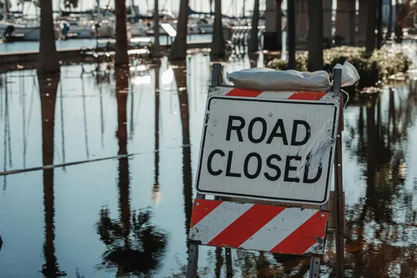
- Wait for the official all-clear from Lee County before going outside
- Wear sturdy closed-toe shoes — debris is everywhere, much of it hidden underwater
- Do not drive through standing water — it’s deeper and faster than it looks
- Report downed power lines to LCEC immediately: (239) 656-2300
- Check on elderly neighbors and those with medical needs
What Ian Taught SWFL — And Why Cape Coral Came Back Stronger
Hurricane Ian was the most powerful storm to hit Southwest Florida in modern history. It was devastating in the most exposed coastal areas — and it was also a demonstration of this community’s resilience. Cape Coral’s inland neighborhoods largely survived the storm structurally intact. The community rallied, recovered, and rebuilt with remarkable speed. The people who live here chose to stay, and those who have moved here since have done so with eyes open and appreciation for this place.
Ian’s track shifted significantly in the final 72 hours, which caught some residents off guard. The lesson that storm taught is not that Cape Coral is too dangerous to live in. It’s that the zone system works — residents in high-surge zones who evacuated came back to damaged structures but were alive and able to rebuild. Residents in lower-risk inland zones who sheltered in place in prepared homes largely came through with manageable wind damage.
Key Resources for Cape Coral and Lee County Residents
Recent Posts


GET MORE INFORMATION